WULOLIFE
《重返帕米尔:追寻玄奘与丝绸之路》 作者: 侯杨方 出版社: 上海译文出版社
《重返帕米尔:追寻玄奘与丝绸之路》 作者: 侯杨方 出版社: 上海译文出版社
Couldn't load pickup availability
Description
内容简介 · · · · · ·
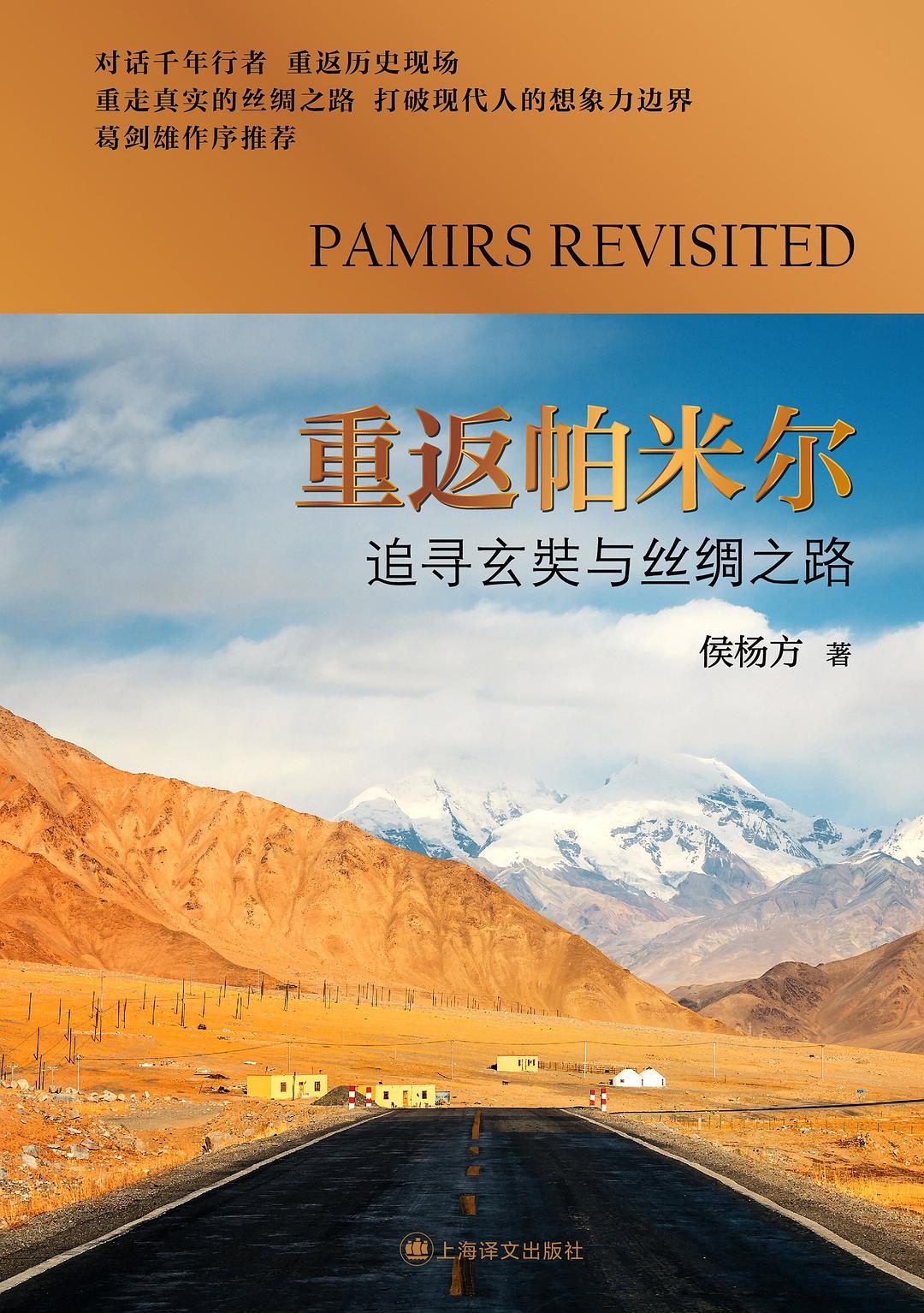
对话千年行者重返学术历史现场
重走真实的丝绸之路 打破现代人的想象力边界
葛剑雄作序推荐
附101帧作者行走丝路照片与路线图
2014 5 years 19 years, 2014系统》正式上线,该系统利用研究团队几次前往精确呈现了包括 商队经常通行的玄奘东归路、卡拉其古路和19世纪“大博弈”时英国探险队经过的纳兹塔什路,以及东下葱岭到喀什方向的喀什-英吉沙路和到叶尔羌方向的蒲犁驿路。侯教授为何要精准复原丝绸之路?为何首先选择如此具有难度的帕米尔地段进行考察?怎样在复杂的地理环境中实现路线的精准复原?侯教授在他的新作《重返帕米尔:追寻玄奘与丝绸之路》中对这些疑问一一作了解答。
本书分以下几部分:
一、对百年来各国探险家斯坦因、斯文•赫定、寇松等人追随玄奘足迹所作的中亚探险的回顾。
二、侯杨方教授带领复旦科考队复原玄奘之路的考察记。
三、帕米尔是丝路最重要的枢纽。“精确”的概念,可理解为路线具体到每个山口、每条河流、每个关隘,“误差不超过30 米”。1900-1931年间,英国著名考古学家、探险家斯坦因曾四度进行过中亚考察。在新疆境内,他试图依照《大唐西域记》 "分道扬镳”。百年后,复旦史地所科考队再次接上了历史的线索……
作者简介 · · · · · ·
复旦大学中国历史地理研究所教授、博士生导师、复旦大学“丝绸之路”系列课题首席专家、复旦-甘肃丝绸之路经济带建设协同发展研究院院长、复旦瑞南一带一路发展研究中心主任。2013个世纪以来世界首次对整体帕米尔高原的系列考察,在几十次考察帕米尔、南疆、罗布泊、中亚、南亚的基础上,对丝绸之路做了世界首次“精准复原”,并研制了世界首套《丝绸之路地理信息系统》,引起了极大的社会反响,得到了《光明日报》《中国社会科学报》头版头条的上的直观三维展现,就能得到由精准导航所显示的路线、地标随着研究与考察的不断深入,系统也将不断更新。侯杨方教授崇尚知行合一,认为对历史地理的研究必须要经过研究不能停留在从纸面到纸面;他曾多次翻越海拔近50 00米的山口,足迹遍及帕米尔高原境内外的多条重要河谷、山口。他曾一天之内在海拔3600米至4600米之间步行往返34公里。他是清朝以来寻找并到达境外帕米尔高原上乾隆纪功碑原址的第一人。
